GIS
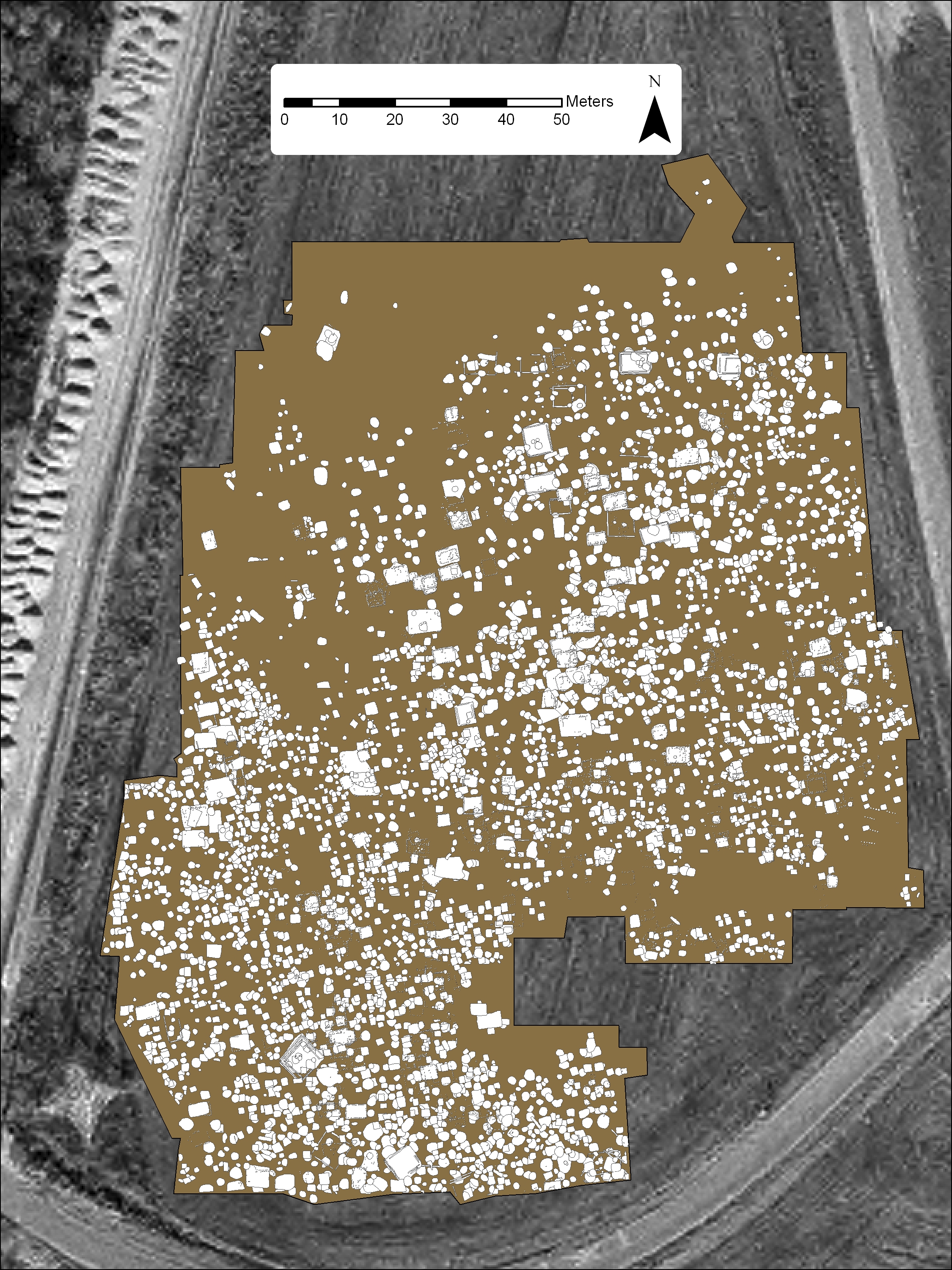
Located in the main program offices on the University of Illinois campus, the GIS Office provides geospatial support and database management for ISAS. We provide technical guidance to ISAS field archaeologists relating to collection of spatial data through use of GPS receivers and Electronic Total Stations. The electronic field data is integrated with other site and/or project specific data (e.g., feature maps, ROW plans, aerial photography, remote sensed data) to create site- and project-specific GIS projects. These are used in the spatial analysis of sites, projects and research and to create cartographic output for use in technical reports and other publications.
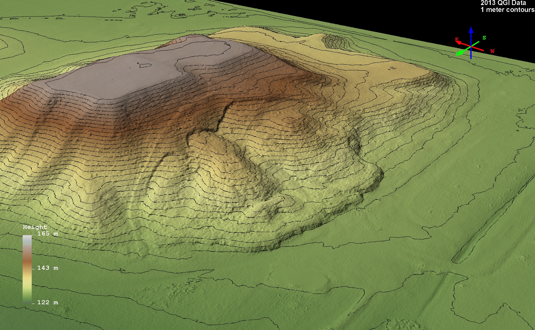
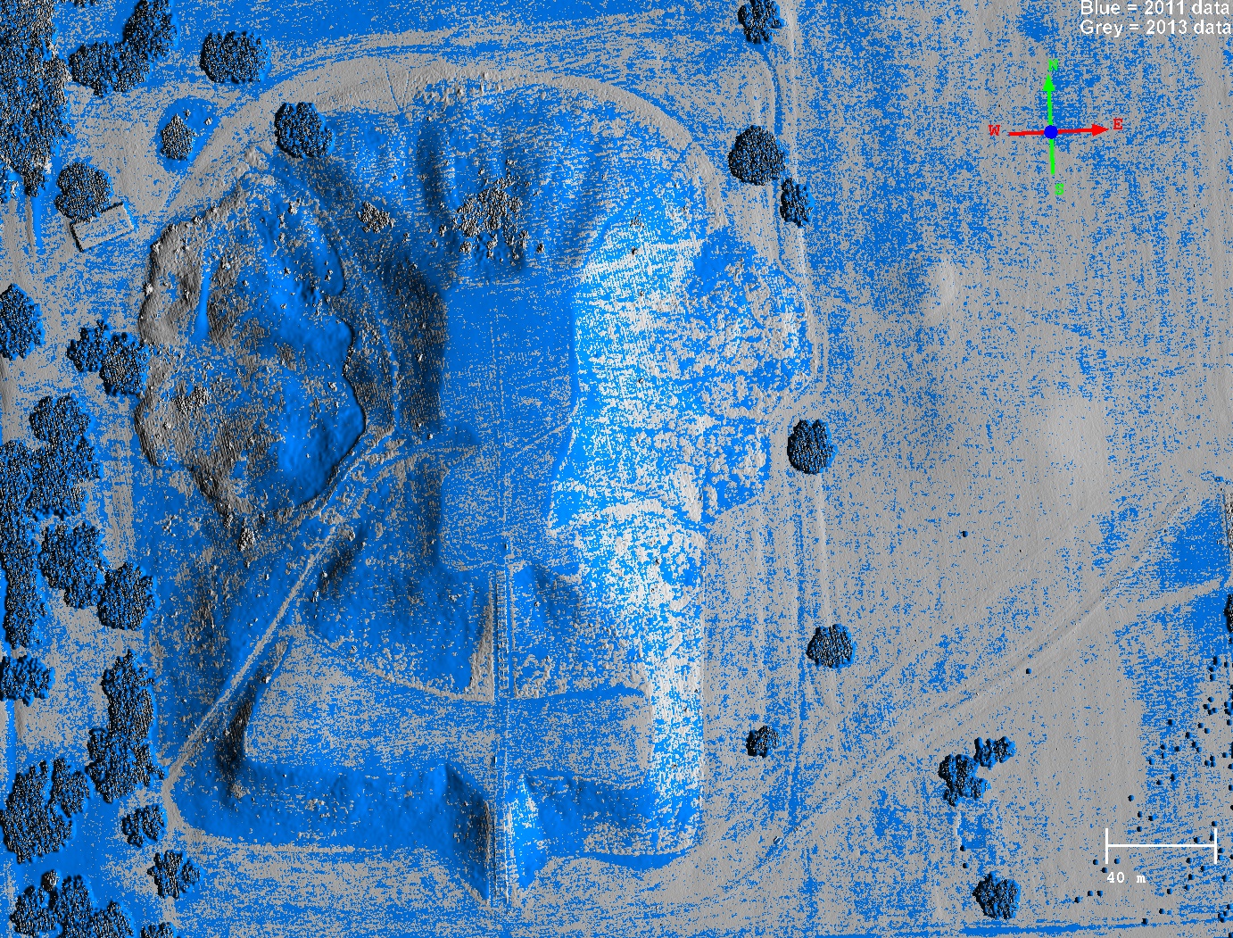
Using LiDAR data, made available through the Illinois Height Modernization Program, ISAS has begun to re-inventory and assess the condition of Illinois’ 9,500+ prehistoric mounds. LiDAR data is processed to produce highly detailed, spatially accurate digital elevation models. Burial mounds and other archaeological landscape modifications can be identified and the information used to update the Illinois Inventory of Burial Sites (IIBS) database. Mounds are protected under Illinois State law, so their locations and conditions are invaluable to preservation groups and agencies tasked with protecting these resources without impeding development. The IIBS is one of several databases created by ISAS and managed by the GIS section that are made available to Professional Archaeologists and Illinois State and Federal agency personnel.
ISAS also develops and maintains the Illinois Archaeological Predictive Model (IAPM), a GIS-based tool which is freely available to the public. The model builds on over a century of archaeological work in Illinois, and uses a statistical framework to predict the probability of encountering an archaeological site in every two acre square (90 x 90 meter cells) across the state. ISAS and other interested stakeholders use the IAPM to help protect, preserve, and assess the potential impact to irreplaceable and non-renewable archaeological resources within the context of Illinois' need to encourage and promote sustainable development. Interested? Go to the IAPM information page to learn more or visit https://go.isas.illinois.edu/IAPM to explore the Illinois Archaeological Predictive Model.


Contact:
Mike Farkas
mgfarkas@illinois.edu
(217) 244-6706